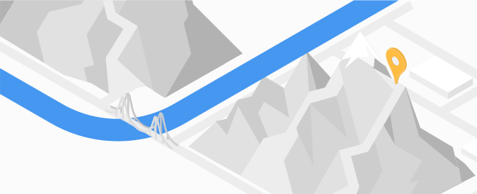
The Elevation API is a service that returns elevation data for a location on the earth, or sampled elevation data along paths.
Why use the Elevation API
With the Elevation API, you can develop applications to support your customers with elevation-sensitive activities, positioning applications, or low-surveying applications that include elevations and elevation changes along routes. For example, you can provide elevation gain and loss data to enhance a sports application for activities such as hiking, biking, or scuba diving.
What you can do with the Elevation API
With the Elevation API, you can include elevation data in your applications or on a map. For example:
- Get the elevation for a particular place.
- Calculate the differences in elevation along a route or between two points.
How the Elevation API works
The Elevation API accepts a request as an encoded URL with latitude/longitude coordinates provided as either discrete locations, or as a series of locations along a path. This request, for example, queries elevation for the center of Denver, Colorado, specifying a return in JSON format.https://maps.googleapis.com/maps/api/elevation/json ?locations=39.7391536%2C-104.9847034 &key=YOUR_API_KEY
The service derives the elevation for the provided coordinates. It also interpolates elevation for a location without elevation, providing an average returned from the four nearest locations that do provide elevation data. Finally, it determines the overall resolution for the location.
Resources
The following table summarizes the resources available through the Elevation API along with the data it returns.
| Data resources | Data returned | Return format |
|---|---|---|
| Latitude/longitude coordinates
You can provide data as a set of one or more locations, or as a series along a path. You can also provide encoded coordinates. Pass up to 512 coordinates. |
The Elevation API provides elevation in meters relative to the local mean sea level (LMSL). Elevation can be returned as positive or negative values as indicated below:
|
|
How to use the Elevation API
| 1 | Get set up. | Start with Set up your Google Cloud project and complete the setup instructions that follow. |
| 2 | Try an elevation request | Once you have an API key, you can start testing out the Elevation API directly from your browser. See Sample requests in the Getting started guide for details. |
| 3 | Compose a more complex request | Once you are set up with a project, try a request that supplies a location data along a path. See Specifying paths for details. |
| 4 | Understand response basics | Explore the elevation data responses to prepare to use elevation data for your app. See Elevation responses for details. |
| 5 | Incorporate elevation data into your own app! | You can use elevation data to enhance location-based apps, such as apps for sports activities or for survey data. |
Available client libraries
Call this API in the language of your choice through one of the following client libraries:
- Java Client for Google Maps Services
- Python Client for Google Maps Services
- Go Client for Google Maps Services
- Node.js Client for Google Maps Services
The Java Client, Python Client, Go Client and Node.js Client for Google Maps Services are community-supported client libraries, open sourced under the Apache 2.0 License. Download them from GitHub, where you can also find installation instructions and sample code.
What's next
- Start using the Elevation API: Go to Set up your Google Cloud project.
- Try getting path-based elevation data: Go to Specifying paths
- Follow best practices: Go to Web Service Best Practices.
